Drone Roof Inspection in Aurora, IL
Commercial Roofing Services
Capture the roof areas that need a closer look
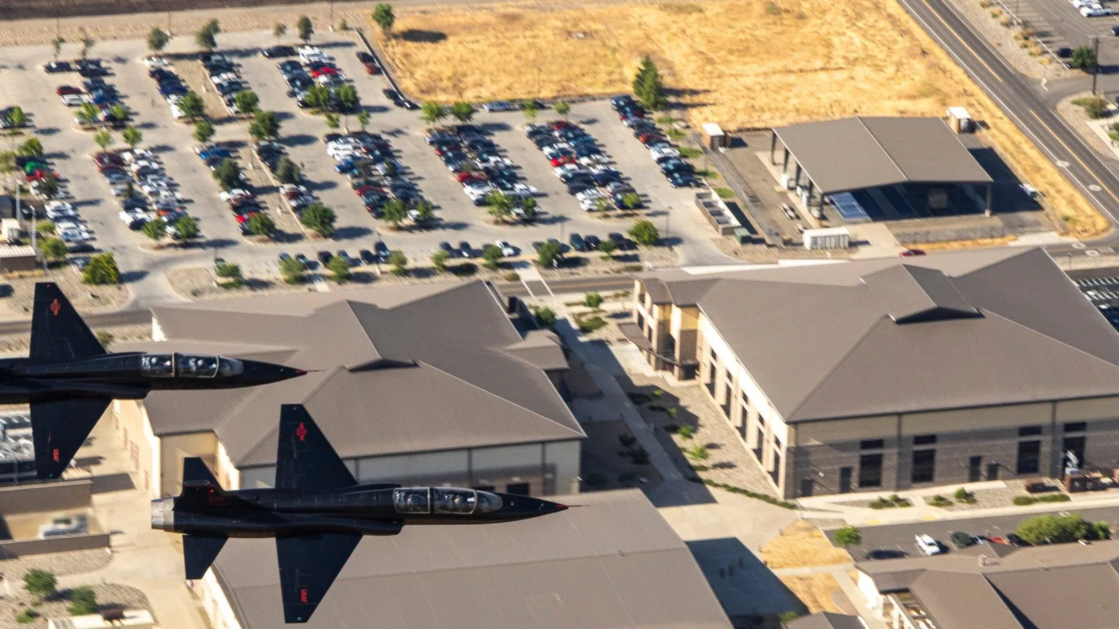
Blocked access around a high parapet or crowded rooftop can leave portions of a commercial roof outside a routine walk. Drone imaging can capture visible surfaces and transitions from a controlled flight, giving the facility director a broad view of areas that need closer inspection. The images show surface conditions, not concealed moisture or attachment strength. We label the visible evidence and identify where a hands-on check remains necessary. For a building near Aurora University, a multi-building campus context may help route the work, while each roof section is assessed separately.
Aurora sees seasonal hail and tornado risk across northern Illinois, and the strongest local decision still comes from what is documented at the facility. We plan drone coverage around roof geometry, nearby obstructions, airspace and site rules. The flight map captures seams, rooftop units, drains and edges that can be seen from above. If conditions hide a critical detail, the report marks it as unobserved instead of treating an image as proof. A hands-on inspection can follow at selected points.
What can the images establish?
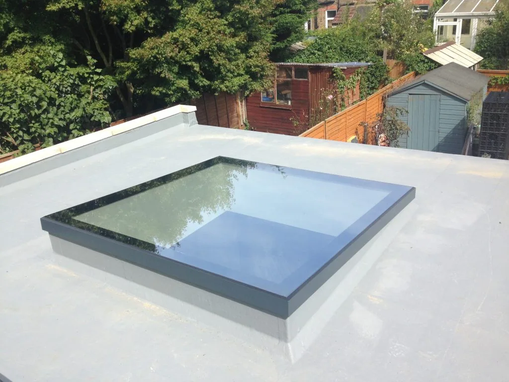
Clear aerial imagery can show ponding patterns, debris accumulations, displaced components, surface discoloration, visible punctures and apparent damage around rooftop equipment. The image set preserves date, coverage and orientation so a manager can return to a roof section without relying on a broad verbal description. We select flight paths to cover accessible sections and note areas blocked by trees, adjacent structures, weather or equipment. The report distinguishes a visible surface observation from a diagnosis that requires contact or testing.
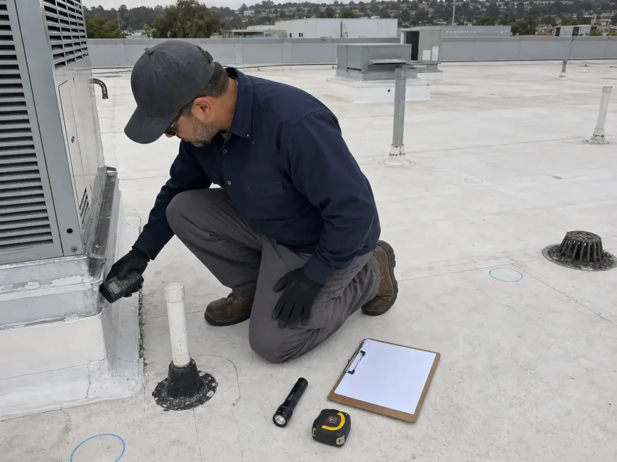
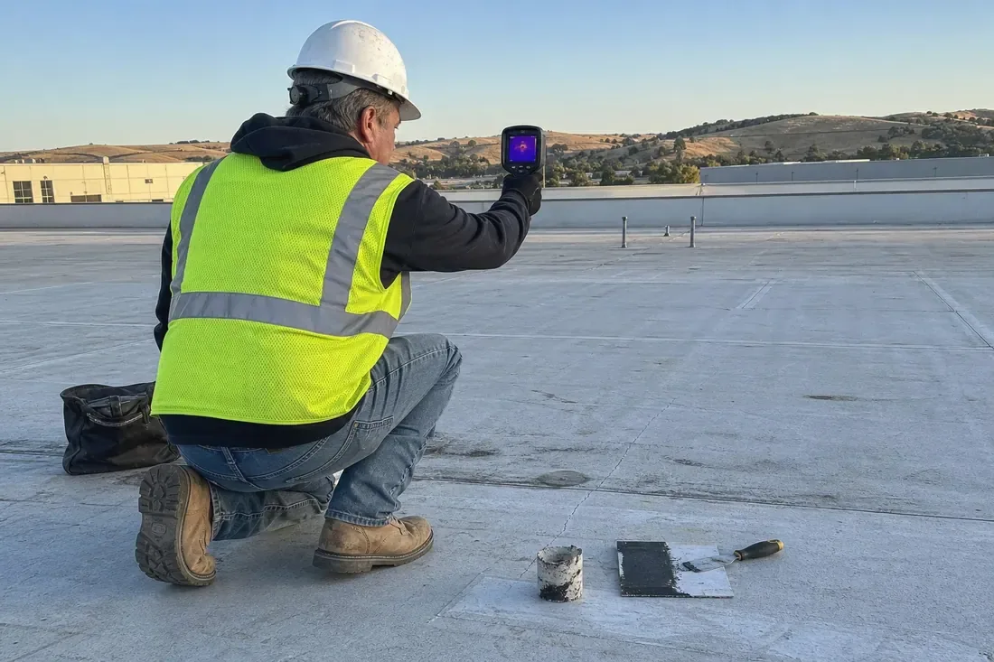
A drone cannot confirm whether an insulation layer is wet beneath a membrane, whether a seam has full bond or whether a fastener holds in the deck. Zoomed imagery can guide where to place a technician, infrared scan or core sample. We connect each selected test point to an image and plan reference. That sequence can reduce time spent on inaccessible edges while keeping the final condition band grounded in direct evidence. Infrared moisture review addresses selected concealed-condition questions; leak tracing follows water paths.
How is a flight prepared?
Before launch, we confirm facility permission, roof access, pedestrian separation, flight area and any restrictions from nearby operations. The operator plans an image overlap and viewing angle that can reveal the target details without entering unsafe areas. Wind, precipitation, cold and battery conditions affect whether the planned coverage can be completed. Aurora's winter cold and periodic severe storms can change a flight window, so we log the actual conditions and reschedule when image quality or safety would be compromised.
Schools, hospitals, industrial sites and retail properties may have different access procedures. Waubonsee Community College's Sugar Grove Campus includes separate academic, business and industry-technology buildings, while the Aurora Municipal Airport industrial area has commercial and manufacturing activity. Those facts illustrate varied regional site settings; the local contact confirms actual operating restrictions and safe launch locations. The flight plan lists the roof areas requested, any excluded zones and whether a technician needs separate access for close review. We coordinate imagery with a roof walk where the scope calls for both.
When is a drone pass worth adding?
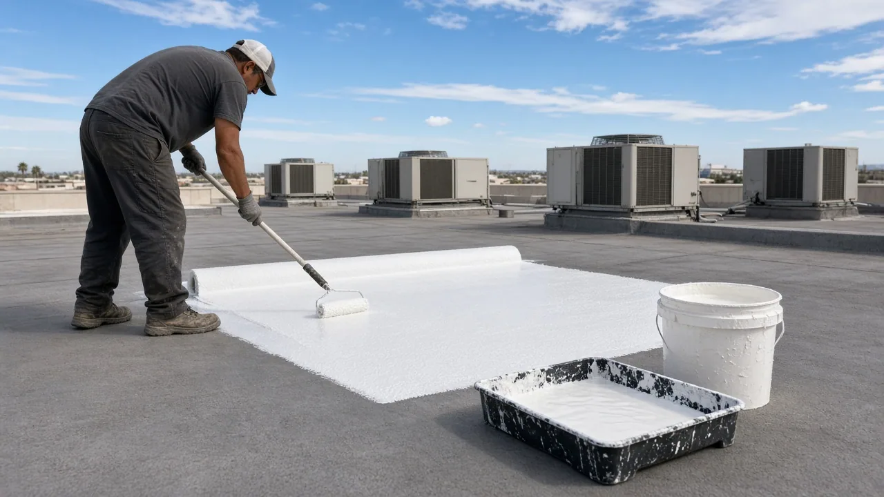
Drone imaging can be useful when the roof is large, access is limited, a record must cover several elevations or the owner wants a dated visual baseline. It can also help after a hail report to locate visible changes before hands-on testing begins. It is less useful when rain, glare, snow cover or obstructions hide the surface, or when the decision depends on a concealed layer. We explain those limits before the flight and recommend direct inspection when images cannot answer the owner's question.
The image set can support maintenance triage by showing drain areas, visible debris and broad surface changes between dates. It does not replace cleaning, repair or close inspection of critical details. A maintenance program can use selected images to prioritize roof sections, while condition reporting preserves the date, coverage and follow-up. For a facility near Fox Valley Mall and the Route 59 district, traffic and tenant access may shape a site visit, but drone coverage remains subject to actual flight clearance and building authorization.
What should the image report include?
A useful deliverable identifies flight date, coverage boundary, image labels, roof orientation, visible observations and blocked or inconclusive areas. We can map selected images to roof sections and flag a seam, drain, curb or edge for close inspection. Findings are described at the level the image supports. When the view suggests a defect but cannot establish its depth or cause, the report states that a hands-on visit or test is needed. This keeps the visual archive from overstating the roof's condition.
Aurora's annual precipitation and winter freeze-thaw cycles make dated comparisons valuable, but image differences need context such as weather, maintenance and camera angle. We keep those factors with the record and identify what changed visibly between flights. The owner can schedule a focused repair or retain a baseline for the next portfolio date. A portfolio inspection program can store consistent labels across properties, and a capital plan can carry only verified follow-up quantities.
Can drone images show wet insulation?
They can show surface patterns that may justify testing, but the camera cannot see moisture beneath an intact membrane. We identify suspect areas and recommend infrared review or a core sample when that evidence would change the decision. The report does not label an image pattern as confirmed wet insulation. Tested quantities stay separate from visible indications.
Do you still need a person on the roof?
A technician is needed when the decision requires contact, probing, seam evaluation or repair. The drone can help direct that visit toward an obstructed edge or an area not easily viewed from a hatch. We combine the methods when the scope needs both broad coverage and close confirmation. Any area that the flight cannot show clearly remains listed as an access or inspection limit.
What weather delays a flight?
Wind, precipitation, lightning, snow cover, low light and temperatures that affect equipment can make coverage unsafe or inconclusive. We review conditions at the scheduled time and record any change to the plan. A delayed flight can be reset when visibility and operation are suitable. Roof access and the building contact's approval remain part of the release decision.
Can drone inspection document hail damage?
Images may capture visible punctures, displaced details or surface marks, but a flight alone does not establish cause or concealed damage. We label the location, compare it with maintenance history and recommend direct inspection where the image raises a concern. Regional hail records provide context only. The final report separates observed features from conclusions that need further evidence.
How are multiple roofs compared over time?
We keep flight boundaries, image labels, dates and limitations consistent enough for later review. A facility team can compare like roof sections and identify visible changes, then direct a technician to confirm them. The comparison accounts for different weather and view angles rather than assuming every image change means deterioration. A dated condition record links the visuals to repair and budget decisions.
Request a Roof Assessment
Provide the Aurora property address, facility contact and areas that are difficult to access. We will plan approved drone coverage, label visible findings and identify where hands-on testing is still needed.
Call 555-555-5555 or send the form and we will set a time to walk the roof.